Va09 St-Valéry falaise aval
WN · StP. Groupe St-Valéry en Caux · AOK 15 Haute-Normandie · France

Va09 St-Valéry falaise aval
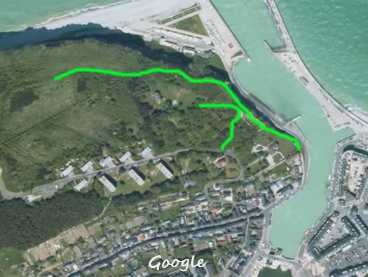
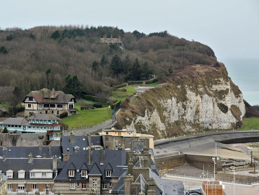
St-Valery en Caux west of Dieppe east of Le Havre set with steep cliffs each side. On the west cliff (falaise Aval) is Va09.
Va09 St-Valéry falaise aval
Va09 St-Valéry falaise aval
Va09 St-Valéry falaise aval
2 x R621 groupe shelter.
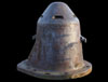
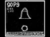
1 x SK (90P9 observation.
1 x Fire control post (Leitstand).
6 x Feldmässig bunkers.
3 x Geschützstellung (open emplacement).
1 x 5cm KwK Ringstand.
2 x 7.5cm F.K.16 neu Art.
2 x R669? casemates with added flanking walls.
1 x Tobruk?
The defence we are looking at starts in front of the house at the top in the trees.
04 March 2012
Va09 St-Valéry falaise aval
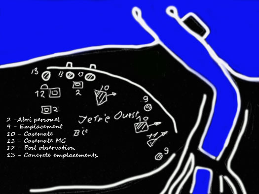
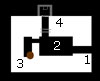
2 - Pos. R621 groupe shelter.
9 - Emplacement for artillery 7.5cm F.K..
10 - Casemate pos.R692.
11 - Machine gun concrete casemate.
12 - Observation post with a Cloche 90P9.
13 - Concreted gun emplacements for 7.5cm F.K.
SHM 1946
Va09 St-Valéry falaise aval

9th USAAF 18 June 1945.
NARA
Va09 St-Valéry falaise aval
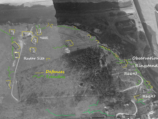
IGNF 1945
Va09 St-Valéry falaise aval
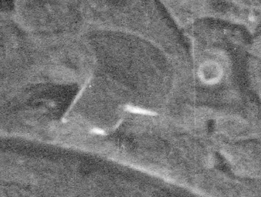
IGNF
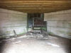
Va09 St-Valéry falaise aval

The bottom R669 also with or is it without a flanking wall?
IGNF
Va09 St-Valéry falaise aval
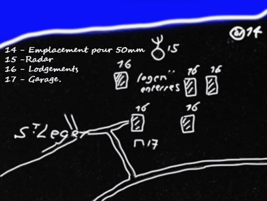
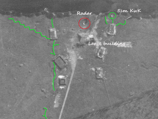
Radar site:
14 - 5cm KwK.
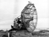
15 - Radar.
16 - Concrete barrack/working buildings set into the ground.
17 - Garage. So this area looks to have been almost a separate site for a radar instillation.
SHM 1946
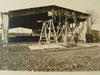
Va09 St-Valéry falaise aval
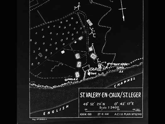
AIR 40/1668 Rhubarb - Appendix XII Coastal Radar Stations.
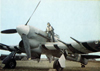
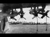
Va09 St-Valéry falaise aval
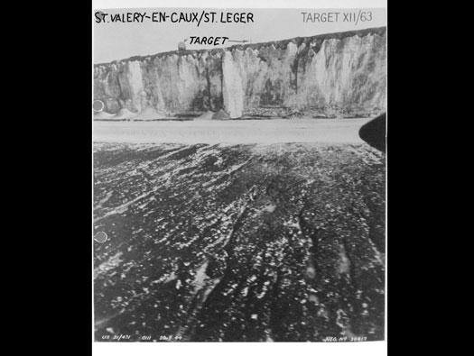
AIR 40/1668 Rhubarb - Appendix XII Coastal Radar Stations.
Va09 St-Valéry falaise aval
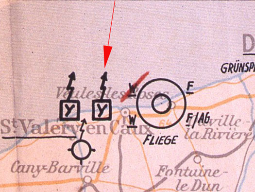
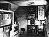
Already in 1939, an other successor to the "X-System" was conceived. It retained the director-beam ("Marschleitstrahl") concept of the "X-System". But rather than using a cross-beam to mark the position of the target along that beam [and "speed measurement" point], it used a transponder system (?? "Emil" Kontroll-E-Messung???) that allowed the ground controller to determine the aircraft's distance from the beacon (of course "slant range", not distance over ground). Ground controlled bomb release command, X-clock at ground control station. After a fixed delay time, the transponder in the aircraft would retransmit the received signal at a different frequency (1.9 MHz lower). The interrogator ground station would derive the range from the total round-trip signal delay, minus the fixed delay. The ground controllers would command release of the bombs ("Abwurfkommando", based on the range, via VHF R/T. This was called the "Y-System" ("Y-Verfahren", ref. 6G, 244D), US/UK Allied code name "Benito" (system or beacon?). It became operational in September of 1940. As the procedure involved a ground controller, the number of aircraft that could use the system simultaneously, was limited.?
I found this in the axishistory forum, a plan of the radars in the area.
Forum axishistory Radar Normandie
Va09 St-Valéry falaise aval

'Y' Benito.
AIR 20/1647
Va09 St-Valéry falaise aval
axis Radar Normandie
Va09 St-Valéry falaise aval

9th USAAF 18 June 1945.
NARA
Va09 St-Valéry falaise aval
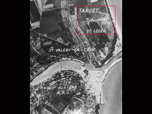
AIR 40/1668 Rhubarb - Appendix XII Coastal Radar Stations.
Va09 St-Valéry falaise aval
Va09 St-Valéry falaise aval