Wn406 Viaduc des Moulins
WN · K.V.U. Gruppe Cherbourg Land · AOK 7 Normandy · France

Wn406 Viaduct des Moulins
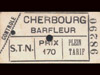
An old French railway line ran from Cherbourg to Barfleur and beyond, it had to cross a very deep valley (La Vallie des Moulins) of the River No. The river was also used to power a water mill.
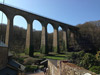
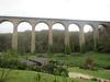
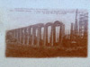
Wn406 Viaduct des Moulins
Wn406 Viaduct des Moulins
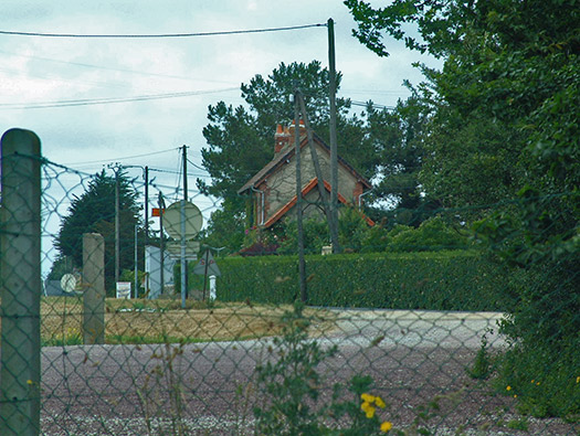
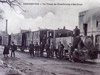
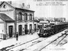
Fermanville Railway station.
29 June 2001
Wn406 Viaduct des Moulins
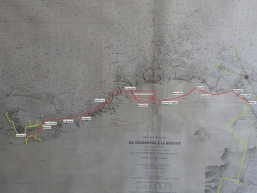
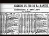
The route of the Compagnie des Chemins
de Fer Normans (CFN).
Wn406 Viaduct des Moulins
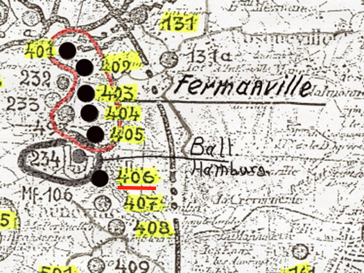
German Army Plan
Plan of the defences to the east of Cherbourg, part of the Cherbourg defence ring.
German Army Plan
Wn406 Viaduct des Moulins
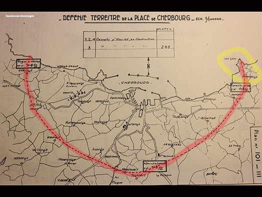
Cherbourg defence
The Cherbourg defence ring and yellow the area we are in.
German Plan
Wn406 Viaduct des Moulins
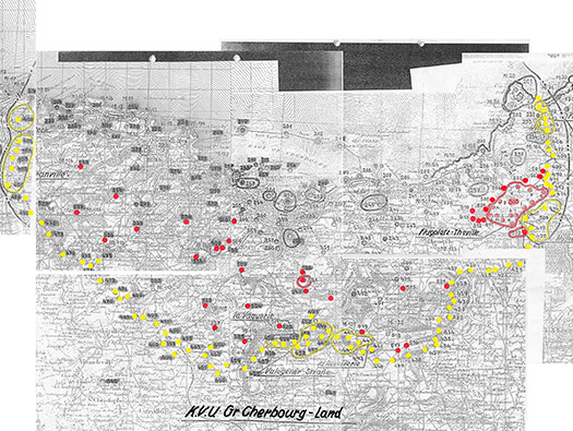
Cherbourg defence
Yellow - The 400 series Wn/StP's.
Red - The 500 series Wn/StP's.
The 400 series was the outer ring and the 500 series the flak, radar, artillery, road blocks, HQ and forts.
Un-coloured the 200 series that is the K.V.U.Gruppe Cherbourg see (Sea) defences.
German Plan
Wn406 Viaduct des Moulins
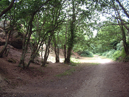
Started 1908, completed 1911.
29 June 2001
Wn406 Viaduct des Moulins
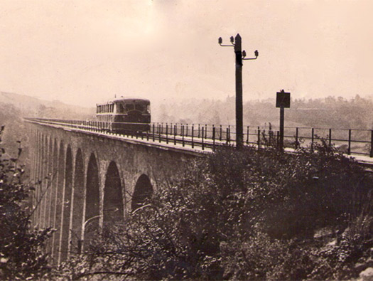
In 1926, these two lines were bought by the department and entrusted to the Compagnie des Chemins
de Fer Normans (CFN).
During World War II, the Germans closed the line and used it to transport
construction materials for the Atlantic Wall, but also for the installation of a heavy artillery battery on
the railway in the Anse due Brick, in order to protect the approaches to the port of Cherbourg from
possible Allied landing. Then, on June 21, 1944, in order to slow down the Americans' advance to
Cherbourg, the Germans blow up part of the Poult viaduct (Fermanville) which will be
re built after the war, shortly before the line was closed in October 1950.
Today, the line (IGRF n ° 50511.01N, 50562.01N, 50562.02N and 50602.01N) has largely
disappeared and can no longer be followed except on a few short sections including this one fitted out
for safe hiking that crosses the Poult viaduct; and the one that has become the coastal tourist route (RD
116) between Aubiers (commune of Fermanville) and Cherbourg.
In addition to the viaduct already mentioned. It was nicknamed Tue Vaques (kills cows in Norman) because of the many accidents that
intervened with wandering cows grazing along the tracks.
00-00-00
Wn406 Viaduct des Moulins
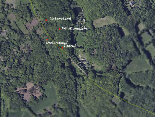
Plan
2 x Vf58c Tobruk's.
1 x Vf
1 x Vf/MG
1 x SK
Geoportail
Wn406 Viaduct des Moulins
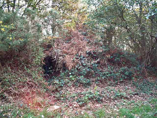
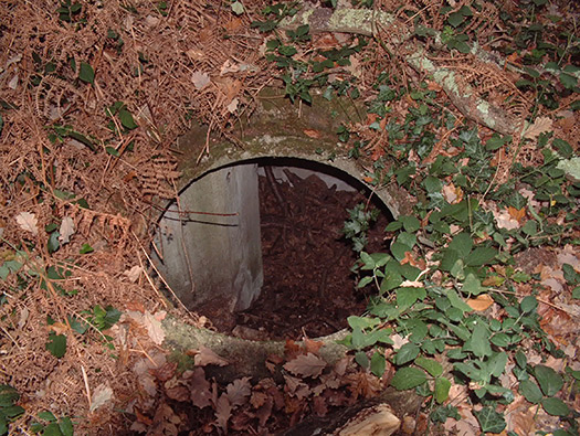
Tobruk
Well hidden in the undergrowth.
16 November 2001
Wn406 Viaduct des Moulins
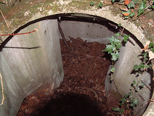
Tobruk
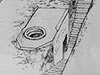
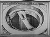
Vf58c type Tobruk.
16 November 2001
Wn406 Viaduct des Moulins
Tobruk
16 November 2001

Wn406 Viaduct des Moulins
1 x Vf,
1 x Vf/MG,
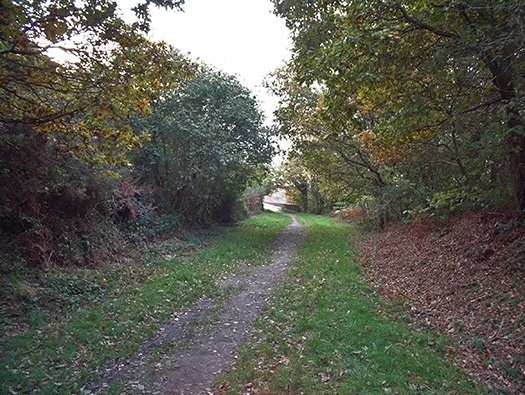
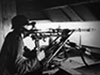
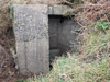
1 x SK - these bunkers would have been small concreted boxes made probably by the soldiers using them. I have yet to find them.
16 November 2001
Wn406 Viaduct des Moulins
16 November 2001
Wn406 Viaduct des Moulins
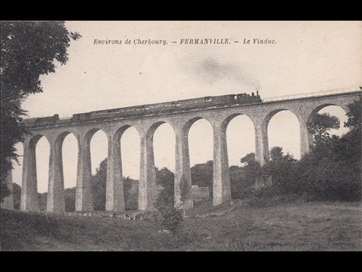
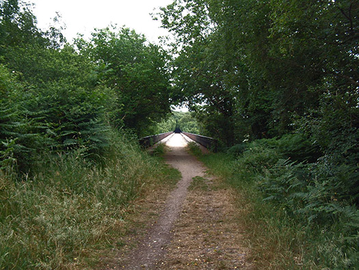
A most beautifully designed viaduct.
Post card
Wn406 Viaduct des Moulins
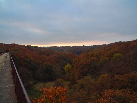
The view over the top of the Viaduct.
16 November 2001
Wn406 Viaduct des Moulins
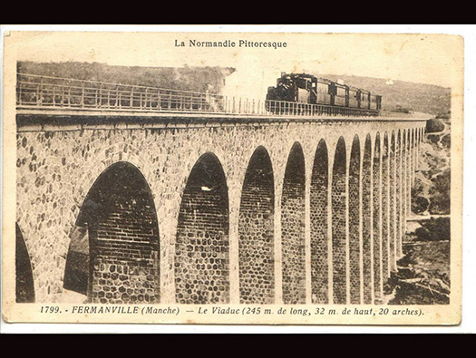
La Normandie Pittoresque.
Post card
Wn406 Viaduct des Moulins
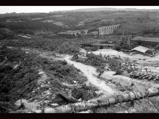
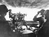
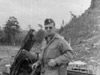
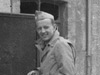
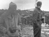
Nicholas Rudzaik must have been attached to a unit that went around many of the captured defences and photographed them. He with foresight kept some pictures for himself and through that we can now see what these parts of Normandy looked like. Jim Swan kindly has allowed me to use these photos.
Photographer Nicholas Rudzaik US Army- Picture Courtesy of Jim Swan
Wn406 Viaduct des Moulins
Return to the MENU page
16 November 2001