|
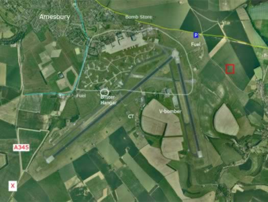
INFORMATION:
Yellow line : the old WW1 railway to Amesbury.
Red square : pillbox.
Blue line : my route.
White circle : WW1 & WW2 airfield.
Red X : site of a B-36D landing in 1952.Many HAS hangars and munitions shelters are now scattered around the old airfield.
|